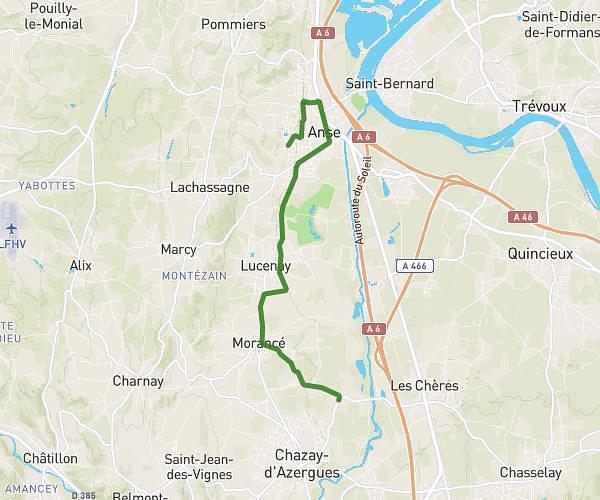
This running route covers 0.907mi starting from Villeurbanne, Rhône. The run is a loop trail and returns to the trailhead. This run is rated as easy, expect about 8m38s to complete it. The route has an elevation gain of 10ft and an elevation loss of 13ft.
2025/11/29
Route details
6.31mph
Speed
99 kcal
Calories burned
Loop trail
Route type
558ft
Min altitude
571ft
Max altitude
Route profile
10ft
Elevation gain
13ft
Elevation loss
558ft
Min altitude
571ft
Max altitude
How to get there
Trailhead: 10 Rue Antoine Bernoux, 69100 Villeurbanne, France
GPS coordinates of the trailhead: 45.769479, 4.88719 / 45°46'10'' N, 4°53'13'' E