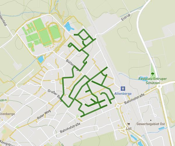
This walking route covers 3.463mi starting from Emsdetten, North Rhine-Westphalia. The walk does not return to the trailhead and ends near Meinerts Brook 11, 48282 Emsdetten, Germany. This walk is rated as moderate, plan for about 1h14m to complete it. The route has an elevation gain of 210ft and an elevation loss of 187ft.
1. Mai
Route details
21:22/mi
Pace
302 kcal
Calories burned
Point to point
Route type
108ft
Min altitude
164ft
Max altitude
Route profile
210ft
Elevation gain
187ft
Elevation loss
108ft
Min altitude
164ft
Max altitude
How to get there
Trailhead: Isendorf 25, 48282 Emsdetten, Germany
GPS coordinates of the trailhead: 52.197664, 7.5387 / 52°11'51'' N, 7°32'19'' E