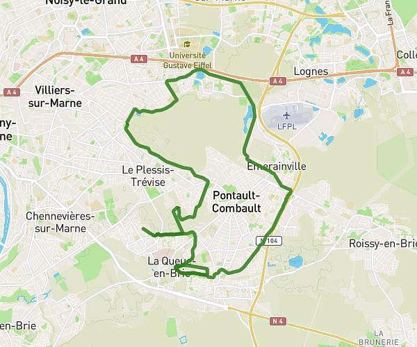
This running route covers 15.0mi starting from Arcueil, Val-de-Marne. The run is a loop trail and returns to the trailhead. This run is rated as strenuous, expect about 2h41m to complete it. The route has an elevation gain of 128ft and an elevation loss of 43ft.
course arcueil
Route details
5.59mph
Speed
1841 kcal
Calories burned
Loop trail
Route type
167ft
Min altitude
259ft
Max altitude
Route profile
128ft
Elevation gain
43ft
Elevation loss
167ft
Min altitude
259ft
Max altitude
How to get there
Trailhead: 17 Rue Victor Basch, 94110 Arcueil, France
GPS coordinates of the trailhead: 48.80606, 2.33253 / 48°48'21'' N, 2°19'57'' E