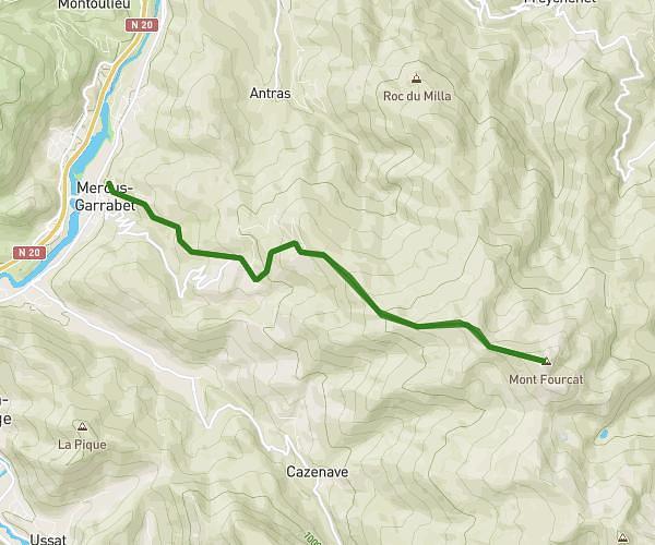
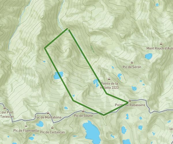
This hiking trail covers 6.631mi starting from Val-de-Sos, Ariège. The hike is a loop trail and returns to the trailhead. This hike is rated as strenuous, plan for about 6h3m to complete it. The route has an elevation gain of 2877ft and an elevation loss of 2871ft.
Pic des trois seigneurs
Route details
1.09mph
Speed
2889 kcal
Calories burned
16.4%
Avg grade
Loop trail
Route type
Steep climb
Route profile
2877ft
Elevation gain
2871ft
Elevation loss
How to get there
Trailhead: 377 Aygue-Rouge Et Arbu, 09220 Val-de-Sos, France
GPS coordinates of the trailhead: 42.80641, 1.41158 / 42°48'23'' N, 1°24'41'' E