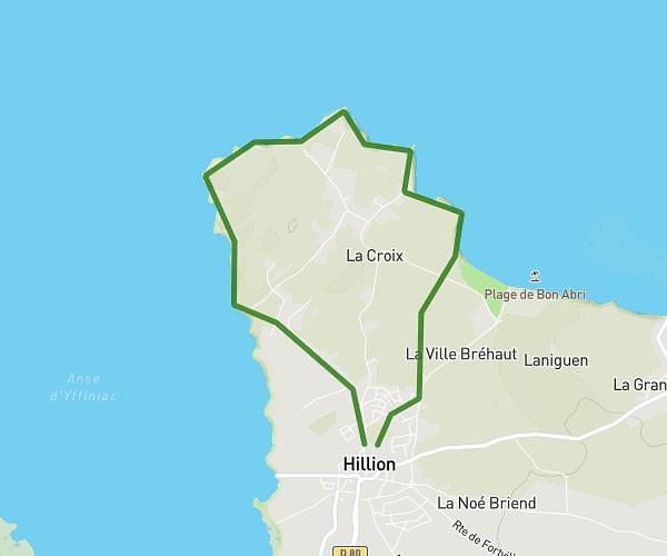
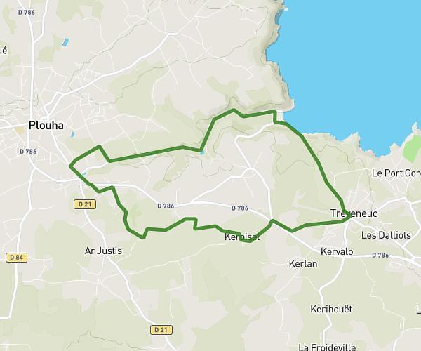
This running route covers 3.053mi starting from Plourhan, Côtes-d'Armor. The run is a loop trail and returns to the trailhead. This run is rated as easy, expect about 29m59s to complete it. The route has an elevation gain of 36ft and an elevation loss of 30ft.
1 jogging
Route details
6.11mph
Speed
343 kcal
Calories burned
Loop trail
Route type
207ft
Min altitude
243ft
Max altitude
Route profile
36ft
Elevation gain
30ft
Elevation loss
207ft
Min altitude
243ft
Max altitude
How to get there
Trailhead: 24 Rue Du Moulin Veil, 22410 Plourhan, France
GPS coordinates of the trailhead: 48.64371, -2.871309 / 48°38'37'' N, 2°52'16'' W