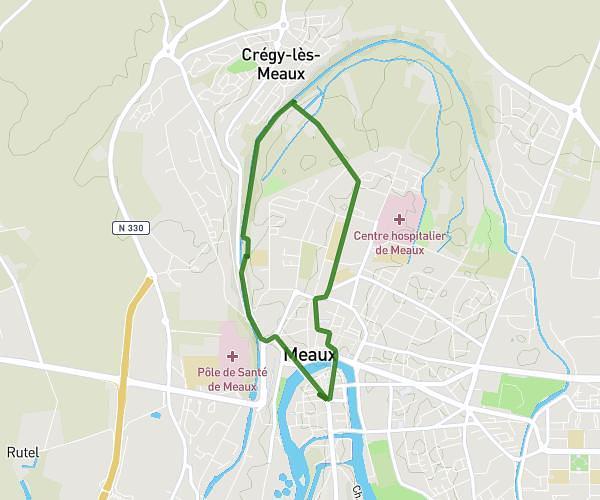
This running route covers 13.369mi starting from Noisiel, Seine-et-Marne. The run is a loop trail and returns to the trailhead. This run is rated as strenuous, expect about 2h23m to complete it. The route has an elevation gain of 217ft and an elevation loss of 151ft.
tentative semi 01
Route details
5.61mph
Speed
1635 kcal
Calories burned
Loop trail
Route type
128ft
Min altitude
344ft
Max altitude
Route profile
217ft
Elevation gain
151ft
Elevation loss
128ft
Min altitude
344ft
Max altitude
How to get there
Trailhead: 33 Grande Allée Du 12 Février 1934, 77186 Noisiel, France
GPS coordinates of the trailhead: 48.8427, 2.62069 / 48°50'33'' N, 2°37'14'' E