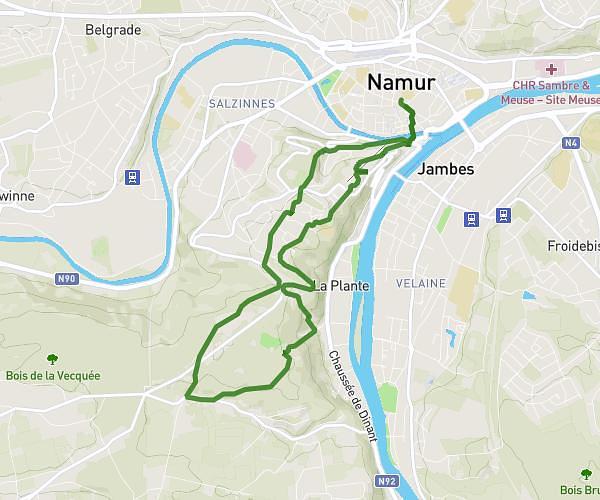
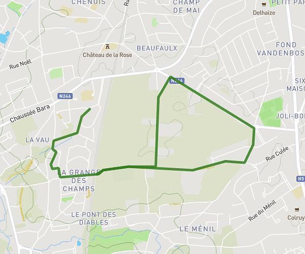
This running route covers 3.293mi starting from Gembloux, Namur. The run is a loop trail and returns to the trailhead. This run is rated as easy, expect about 35m to complete it. The route has an elevation gain of 49ft and an elevation loss of 59ft.
Parcours 5km Gbx-champs-Ravel
Route details
5.64mph
Speed
400 kcal
Calories burned
Loop trail
Route type
479ft
Min altitude
538ft
Max altitude
Route profile
49ft
Elevation gain
59ft
Elevation loss
479ft
Min altitude
538ft
Max altitude
How to get there
Trailhead: Avenue Des Combattants 27, 5030 Gembloux, Namur, Belgium
GPS coordinates of the trailhead: 50.560188, 4.699885 / 50°33'36'' N, 4°41'59'' E