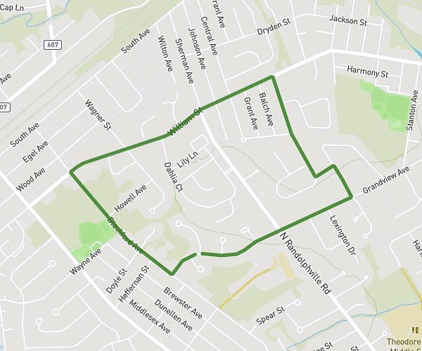
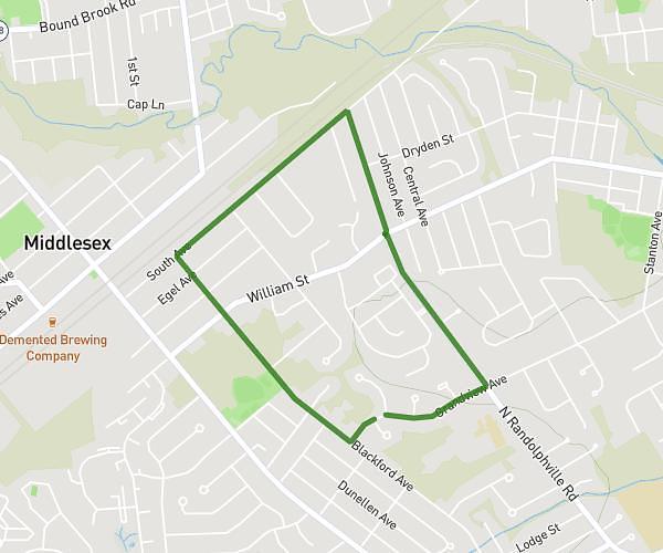
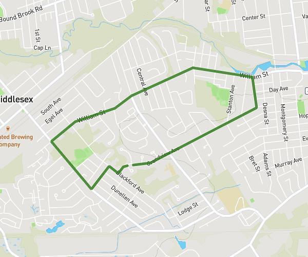
This running route covers 6.636mi starting from Piscataway, New Jersey. The run is a loop trail and returns to the trailhead. This run is rated as moderate, expect about 1h30m to complete it. The route has an elevation gain of 23ft and an elevation loss of 33ft.
10K
Route details
4.42mph
Speed
1029 kcal
Calories burned
Loop trail
Route type
66ft
Min altitude
89ft
Max altitude
Route profile
23ft
Elevation gain
33ft
Elevation loss
66ft
Min altitude
89ft
Max altitude
How to get there
Trailhead: 349 Grandview Avenue, Piscataway, New Jersey 08854, United States
GPS coordinates of the trailhead: 40.56752, -74.47929 / 40°34'3'' N, 74°28'45'' W