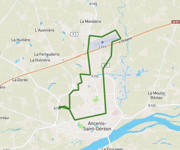
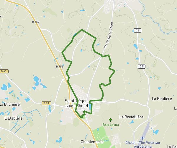
This running route covers 7.876mi starting from Montrevault-sur-Èvre, Maine-et-Loire. The run is a loop trail and returns to the trailhead. This run is rated as hard, expect about 1h25m to complete it. The route has an elevation gain of 128ft and an elevation loss of 95ft.
Course avec Loulou
Route details
5.56mph
Speed
972 kcal
Calories burned
Loop trail
Route type
200ft
Min altitude
325ft
Max altitude
Route profile
128ft
Elevation gain
95ft
Elevation loss
200ft
Min altitude
325ft
Max altitude
How to get there
Trailhead: 10 Rue Du Chêne Percé, 49110 Montrevault-sur-Èvre, France
GPS coordinates of the trailhead: 47.273061, -1.066094 / 47°16'23'' N, 1°3'57'' W