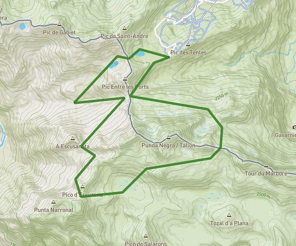
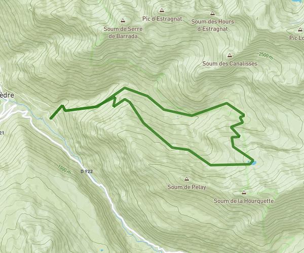
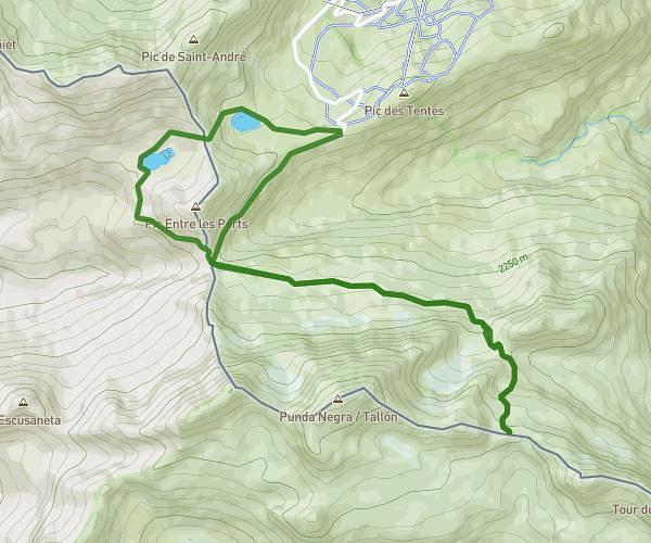
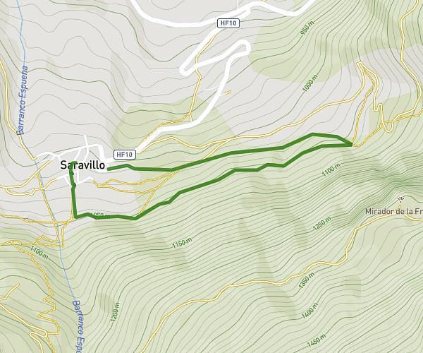
This hiking trail covers 14.725mi starting from Fanlo, Huesca. The hike does not return to the trailhead and ends near Calle Luis Fatas 18, 22340 Boltaña, Huesca, Spain. This hike is rated as strenuous, plan for about 2h43m to complete it. The route has an elevation gain of 2664ft and an elevation loss of 4839ft.
Etape 5
Route details
5.42mph
Speed
1206 kcal
Calories burned
9.7%
Avg grade
Point to point
Route type
1998ft
Min altitude
4173ft
Max altitude
Steep climb
Route profile
2664ft
Elevation gain
4839ft
Elevation loss
1998ft
Min altitude
4173ft
Max altitude
How to get there
Trailhead: Calle Iglesia, 22375 Fanlo, Huesca, Spain
GPS coordinates of the trailhead: 42.574366, 0.017099 / 42°34'27'' N, 0°1'1'' E