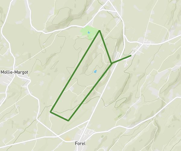
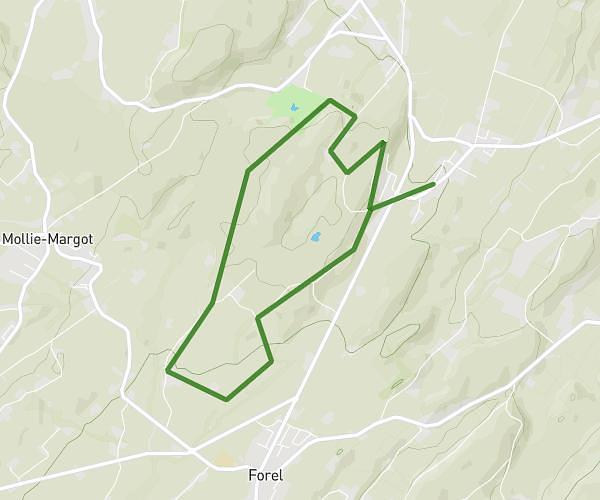
This running route covers 4.332mi starting from Chavannes-près-Renens, Vaud. The run does not return to the trailhead and ends near Chemin Du Châtelard 20, 1033 Cheseaux-sur-Lausanne, Switzerland. This run is rated as easy, expect about 46m to complete it. The route has an elevation gain of 866ft and an elevation loss of 243ft.
montagne
Route details
5.65mph
Speed
526 kcal
Calories burned
Point to point
Route type
1299ft
Min altitude
1926ft
Max altitude
Route profile
866ft
Elevation gain
243ft
Elevation loss
1299ft
Min altitude
1926ft
Max altitude
How to get there
Trailhead: Avenue De La Gare 69, 1022 Chavannes-près-Renens, Switzerland
GPS coordinates of the trailhead: 46.529149, 6.573574 / 46°31'44'' N, 6°34'24'' E