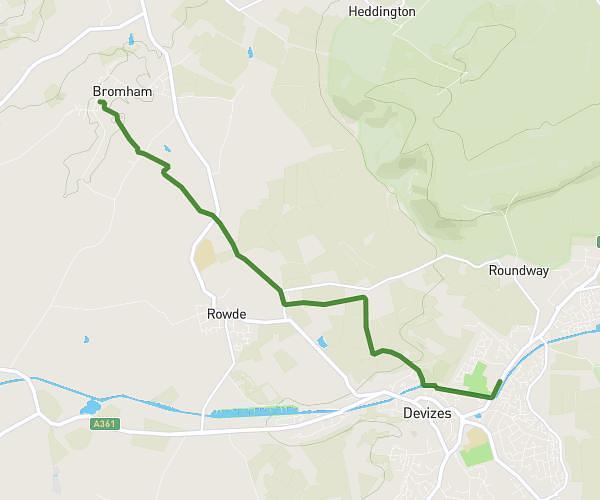
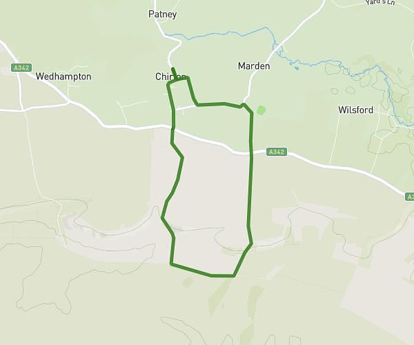
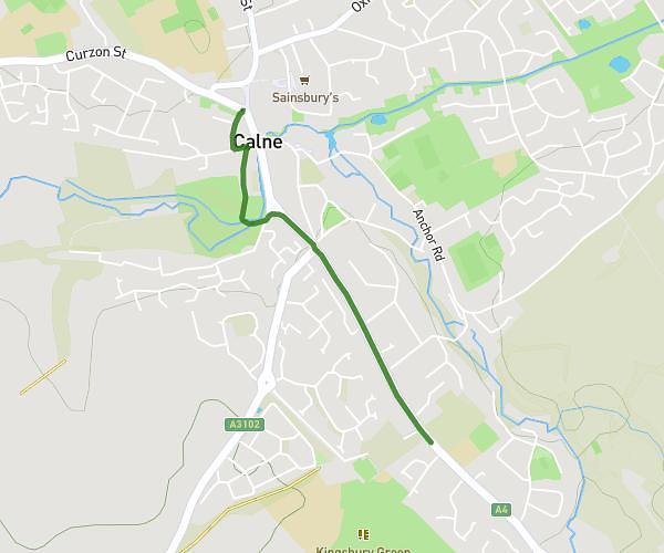
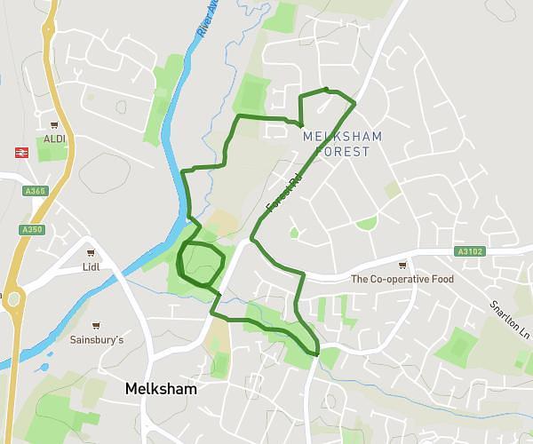
This walking route covers 4.038mi starting from Melksham, England. The walk is a loop trail and returns to the trailhead. This walk is rated as moderate, plan for about 1h20m to complete it. The route has an elevation gain of 95ft and an elevation loss of 95ft.
Earlier morning
Route details
19:50/mi
Pace
327 kcal
Calories burned
Loop trail
Route type
112ft
Min altitude
154ft
Max altitude
Route profile
95ft
Elevation gain
95ft
Elevation loss
112ft
Min altitude
154ft
Max altitude
How to get there
Trailhead: Littlejohn Avenue, SN12 7AN Melksham
GPS coordinates of the trailhead: 51.38222, -2.12895 / 51°22'55'' N, 2°7'44'' W