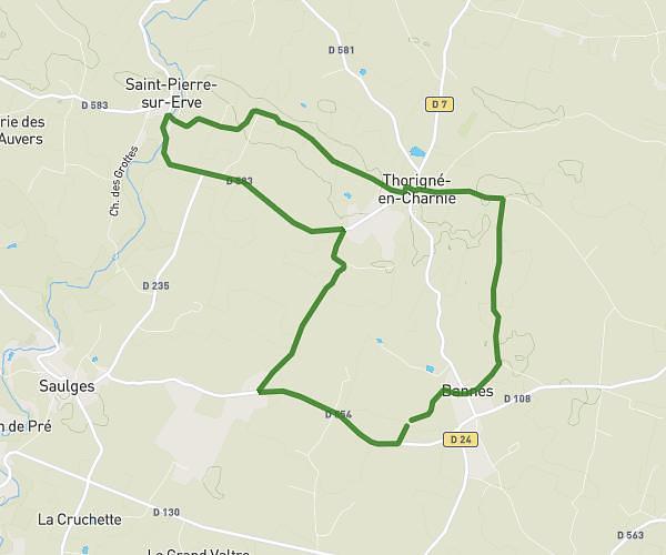
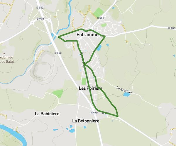
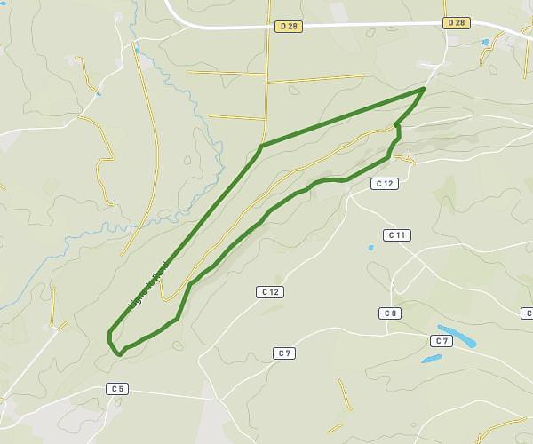
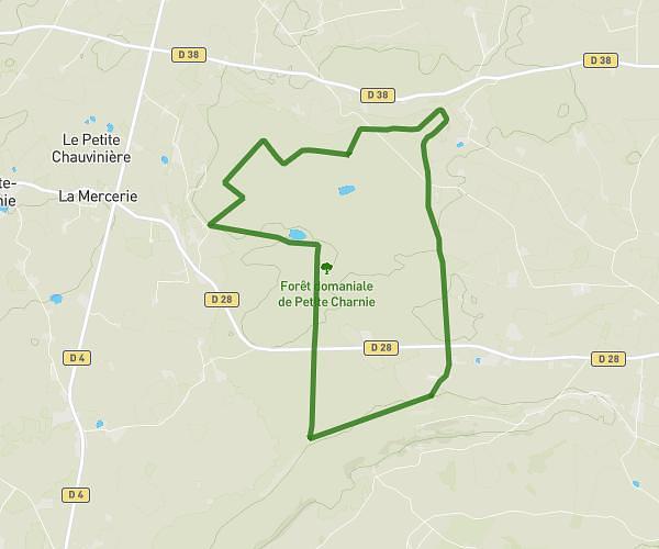
This running route covers 10.594mi starting from Bannes, Mayenne. The run is a loop trail and returns to the trailhead. This run is rated as hard, expect about 1h54m to complete it. The route has an elevation gain of 823ft and an elevation loss of 820ft.
St pierre
Route details
5.57mph
Speed
1303 kcal
Calories burned
Loop trail
Route type
200ft
Min altitude
367ft
Max altitude
Route profile
823ft
Elevation gain
820ft
Elevation loss
200ft
Min altitude
367ft
Max altitude
How to get there
Trailhead: 2 Le Pâtis, 53340 Bannes, France
GPS coordinates of the trailhead: 47.979252, -0.359032 / 47°58'45'' N, 0°21'32'' W