MapPlanner
Subscribe to Explorer
mi
Kilometers
Miles
France (€)
Belgique (€)
United Kingdom (£)
Ireland (€)
United States ($)
Canada ($CA)
Italia (€)
Deutschland (€)
Österreich (€)
España (€)
Schweiz (CHF)
Australia (AU$)
Open user menu
Sign up
Log in
Open main menu
Calculate distance
Search for a route
MapPlanner
Close menu
Subscribe to Explorer
Draw your route
Search for a route
Create an account
Close modal
Log In
Close modal
12.417mi
Distance
1h37m
Time
7.62mph
Speed
36ft
Elevation +
66ft
Elevation -
499ft
Altitude min
541ft
Altitude max
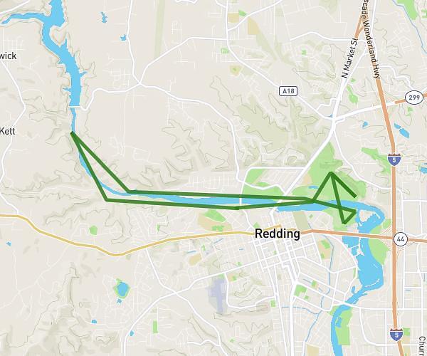
Sundial + River trail with friend
Bike
Ayden.J
United States
California
Redding
Bike trips
Completed on May 20, 2024
Route description
Sacramento River Trail, 96001 Redding
Starting and ending addresses
Export the route as GPX
Explore other bike routes around
Bike
Diestelhorst, keswick, sundial
14,508
mi
•
1
h
30
m
•
7,25
mph
California - Redding
Bike
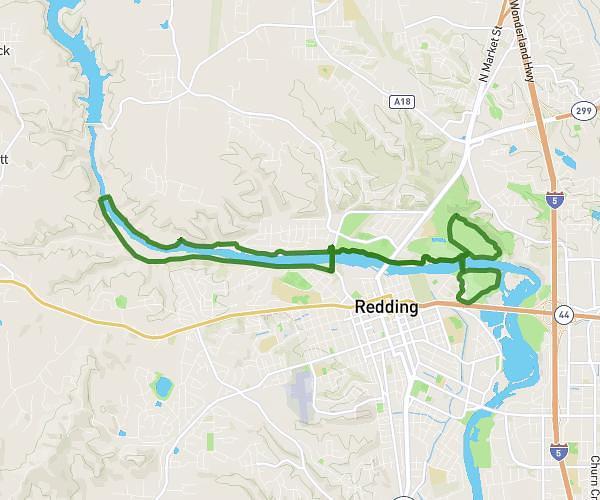
Sundial + River trail with friend
12,5
mi
•
1
h
37
m
•
7,67
mph
California - Redding
Bike
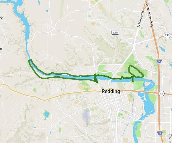
Sundial + River trail
12,339
mi
•
1
h
27
m
•
8,47
mph
California - Redding
Our recommended rides for you
Bike
Easy
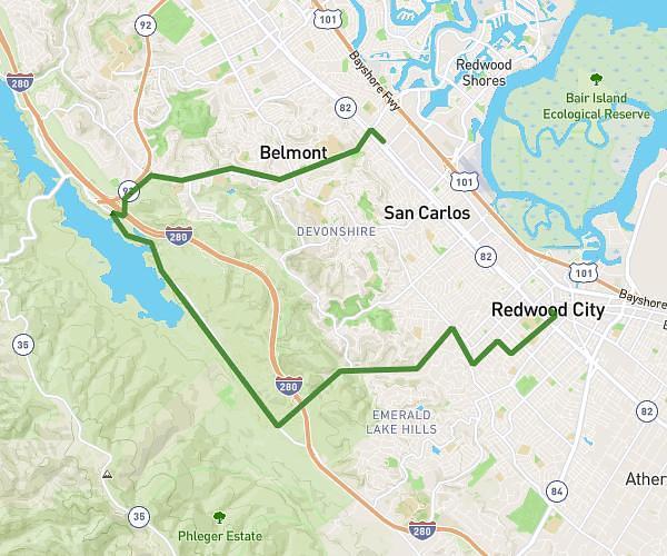
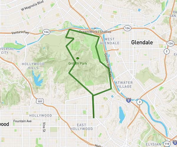
HILLHURST-LOS FELIZ-RIVERSIDE CC-LOOP up Mt Hollywood Dr to HILLHURST
14,12
mi
•
1
h
15
m
•
10,59
mph
California - Los Angeles
Bike
Diestelhorst, keswick, sundial
14,508
mi
•
1
h
30
m
•
7,25
mph
California - Redding
Success
Success
Success
Success
Close