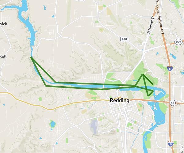
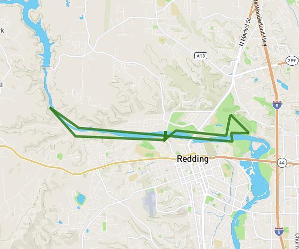
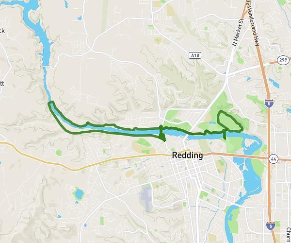
This cycling route covers 12.339mi starting from Redding, California. The ride is a loop trail and returns to the trailhead. This route is rated as easy, plan for about 1h27m to complete it. The route has an elevation gain of 56ft and an elevation loss of 62ft.
Sundial + River trail
Route details
766 kcal
Calories burned
0.2%
Avg grade
Loop trail
Route type
495ft
Min altitude
531ft
Max altitude
Route profile
56ft
Elevation gain
62ft
Elevation loss
495ft
Min altitude
531ft
Max altitude
How to get there
Trailhead: Middle Creek Road, 96001 Redding
GPS coordinates of the trailhead: 40.59136, -122.40175 / 40°35'28'' N, 122°24'6'' W