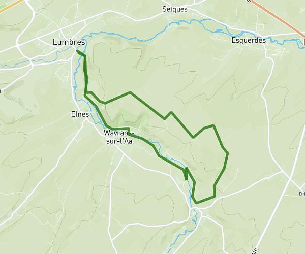
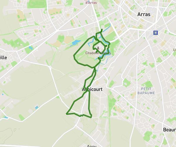
This walking route covers 7.018mi starting from Saint-Martin-d'Hardinghem, Pas-de-Calais. The walk is a loop trail and returns to the trailhead. This walk is rated as hard, plan for about 2h31m to complete it. The route has an elevation gain of 594ft and an elevation loss of 594ft.
12 km st martin 19/05/2025
Route details
21:30/mi
Pace
617 kcal
Calories burned
Loop trail
Route type
210ft
Min altitude
551ft
Max altitude
Route profile
594ft
Elevation gain
594ft
Elevation loss
210ft
Min altitude
551ft
Max altitude
How to get there
Trailhead: Rue Du Château, 62560 Saint-Martin-d'Hardinghem
GPS coordinates of the trailhead: 50.61637, 2.10751 / 50°36'58'' N, 2°6'27'' E