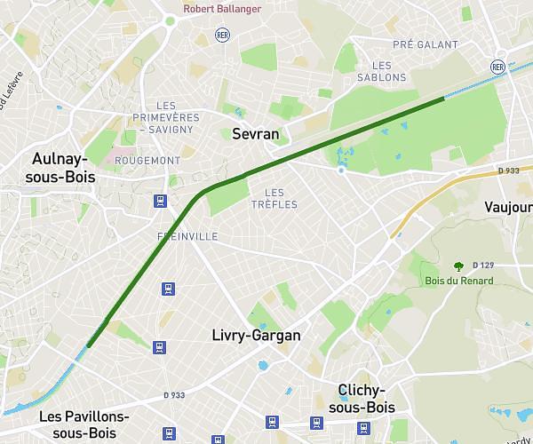
This running route covers 17.194mi starting from Dammartin-en-Goële, Seine-et-Marne. The run does not return to the trailhead and ends near Impasse Jacques Rigaud, 60800 Rocquemont. This run is rated as strenuous, expect about 2h18m to complete it. The route has an elevation gain of 673ft and an elevation loss of 735ft.
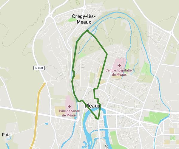
rocquemont
Route details
7.46mph
Speed
1582 kcal
Calories burned
Point to point
Route type
236ft
Min altitude
476ft
Max altitude
Route profile
673ft
Elevation gain
735ft
Elevation loss
236ft
Min altitude
476ft
Max altitude
How to get there
Trailhead: Avenue De L'europe, 77230 Dammartin-en-Goële
GPS coordinates of the trailhead: 49.0629, 2.68126 / 49°3'46'' N, 2°40'52'' E