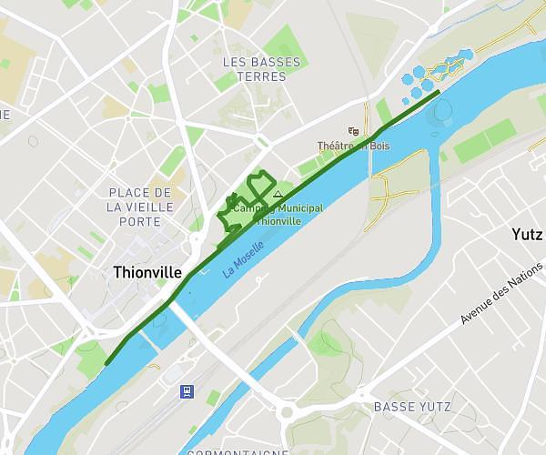
This running route covers 3.774mi starting from Meisenthal, Moselle. The run is a loop trail and returns to the trailhead. This run is rated as easy, expect about 40m to complete it. The route has an elevation gain of 682ft and an elevation loss of 682ft.
6km Colone
Route details
5.66mph
Speed
457 kcal
Calories burned
Loop trail
Route type
938ft
Min altitude
1355ft
Max altitude
Route profile
682ft
Elevation gain
682ft
Elevation loss
938ft
Min altitude
1355ft
Max altitude
How to get there
Trailhead: Chemin De Phalsbourg À Meisenthal, 57960 Meisenthal, France
GPS coordinates of the trailhead: 48.957312, 7.360366 / 48°57'26'' N, 7°21'37'' E