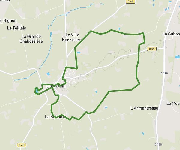
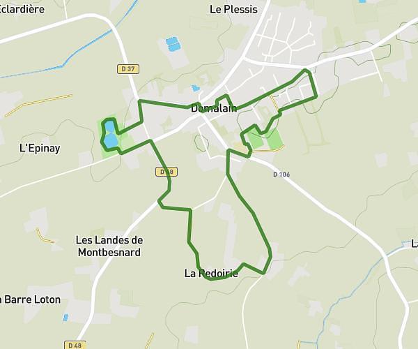
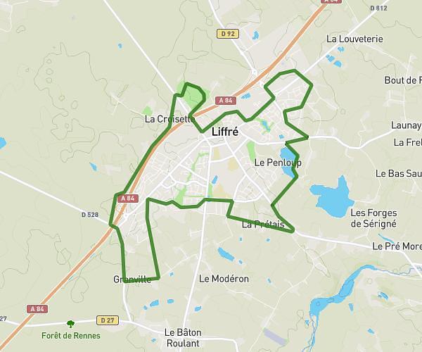
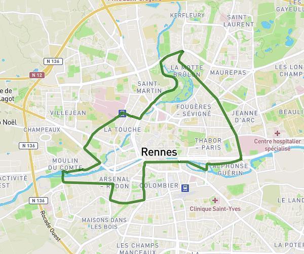
This running route covers 7.899mi starting from Vern-sur-Seiche, Ille-et-Vilaine. The run is a loop trail and returns to the trailhead. This run is rated as hard, expect about 1h25m to complete it. The route has an elevation gain of 341ft and an elevation loss of 351ft.
Romain courses
Route details
5.57mph
Speed
972 kcal
Calories burned
Loop trail
Route type
112ft
Min altitude
210ft
Max altitude
Route profile
341ft
Elevation gain
351ft
Elevation loss
112ft
Min altitude
210ft
Max altitude
How to get there
Trailhead: 16 Allée Henri Matisse, 35770 Vern-sur-Seiche, France
GPS coordinates of the trailhead: 48.048814, -1.615632 / 48°2'55'' N, 1°36'56'' W