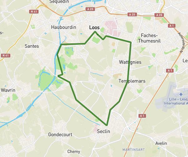
This running route covers 6.871mi starting from Lille, Nord. The run is a loop trail and returns to the trailhead. This run is rated as moderate, expect about 1h to complete it. The route has an elevation gain of 46ft and an elevation loss of 46ft.
Golf V. D’ascq
Route details
6.87mph
Speed
686 kcal
Calories burned
Loop trail
Route type
89ft
Min altitude
135ft
Max altitude
Route profile
46ft
Elevation gain
46ft
Elevation loss
89ft
Min altitude
135ft
Max altitude
How to get there
Trailhead: 2 Rue Albert Einstein, 59000 Lille, France
GPS coordinates of the trailhead: 50.61935, 3.08621 / 50°37'9'' N, 3°5'10'' E