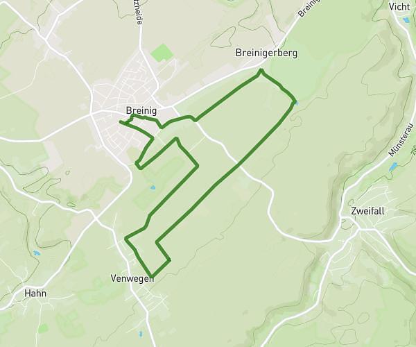
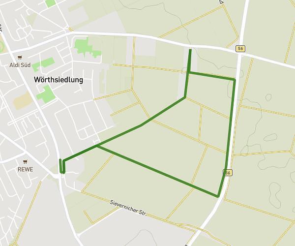
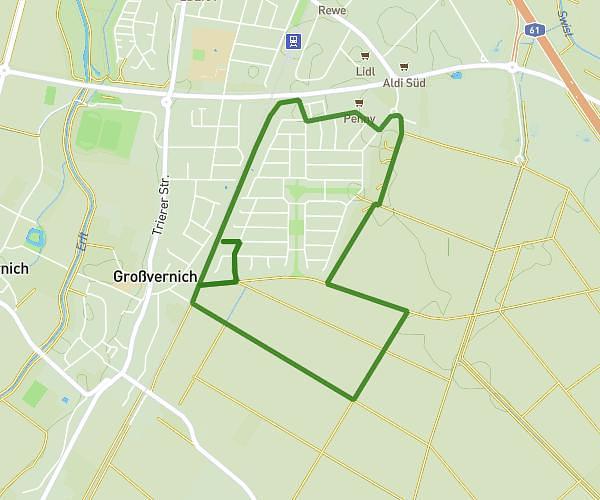
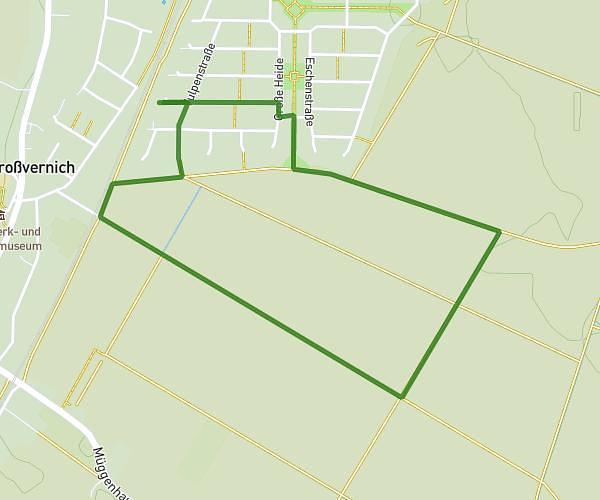
This running route covers 13.238mi starting from Düren, North Rhine-Westphalia. The run does not return to the trailhead and ends near Tivolistraße 139, 52349 Düren, Germany. This run is rated as strenuous, expect about 2h22m to complete it. The route has an elevation gain of 774ft and an elevation loss of 741ft.
Dana 21.1 km
Route details
5.59mph
Speed
1624 kcal
Calories burned
Point to point
Route type
384ft
Min altitude
505ft
Max altitude
Route profile
774ft
Elevation gain
741ft
Elevation loss
384ft
Min altitude
505ft
Max altitude
How to get there
Trailhead: Zollhausstraße 123, 52353 Düren, Germany
GPS coordinates of the trailhead: 50.817117, 6.468016 / 50°49'1'' N, 6°28'4'' E