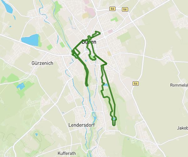
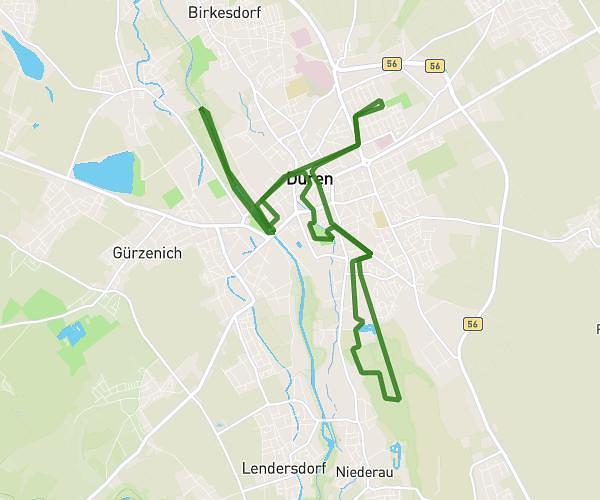
This running route covers 1.688mi starting from Weilerswist, North Rhine-Westphalia. The run is a loop trail and returns to the trailhead. This run is rated as easy, expect about 18m to complete it. The route has an elevation gain of 23ft and an elevation loss of 16ft.
Einsteiger Strecke @Home
Route details
5.62mph
Speed
206 kcal
Calories burned
Loop trail
Route type
397ft
Min altitude
413ft
Max altitude
Route profile
23ft
Elevation gain
16ft
Elevation loss
397ft
Min altitude
413ft
Max altitude
How to get there
Trailhead: Ringelblumenweg 7, 53919 Weilerswist, Germany
GPS coordinates of the trailhead: 50.742258, 6.840631 / 50°44'32'' N, 6°50'26'' E