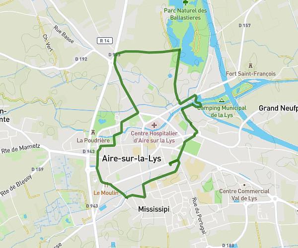
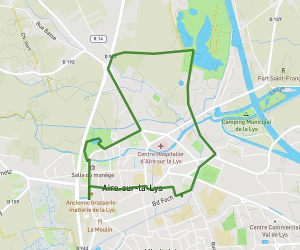
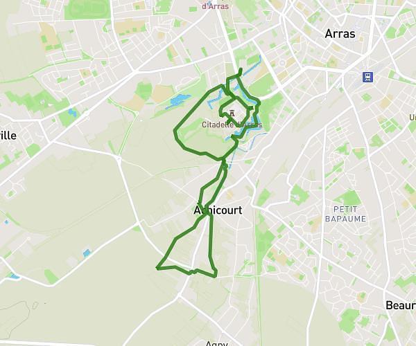
This walking route covers 4.268mi starting from Nœux-les-Mines, Pas-de-Calais. The walk is a loop trail and returns to the trailhead. This walk is rated as moderate, plan for about 45m47s to complete it. The route has an elevation gain of 315ft and an elevation loss of 318ft.
Parcours du cœur
Route details
10:44/mi
Pace
187 kcal
Calories burned
Loop trail
Route type
105ft
Min altitude
207ft
Max altitude
Route profile
315ft
Elevation gain
318ft
Elevation loss
105ft
Min altitude
207ft
Max altitude
How to get there
Trailhead: 78 Rue Jean Jaurès, 62290 Nœux-les-Mines, France
GPS coordinates of the trailhead: 50.473566, 2.656048 / 50°28'24'' N, 2°39'21'' E