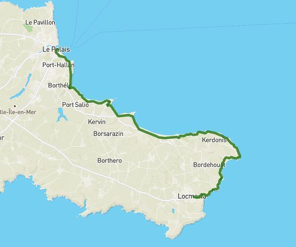
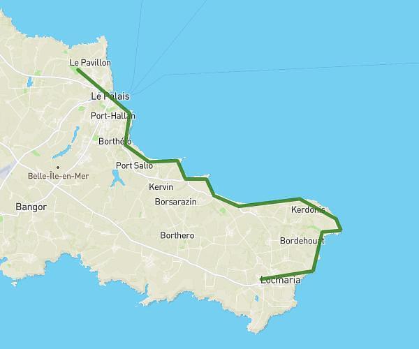
Explore this hiking route of 2.784mi starting from Le Palais, Morbihan. The hike is a loop and returns to the starting point. This hike has no defined difficulty level, plan for about 1h5m to complete it. The route has a positive elevation gain of 344ft and a negative elevation loss of 344ft.
balade 1
Route details
Route profile
344ft
Elevation +
344ft
Elevation -
26ft
Min altitude
144ft
Max altitude
How to get there
Route starting point: Rue C. Fechant, 56360 Le Palais, France
GPS coordinates of the starting point: 47.346594, -3.153668 / 47°20'47'' N, 3°9'13'' W