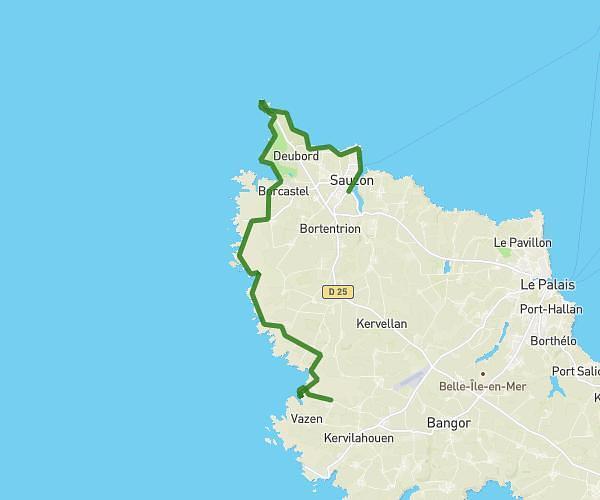
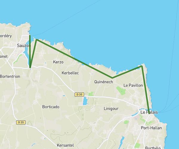
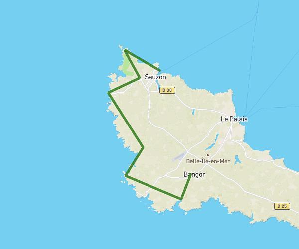
This hiking trail covers 9.066mi starting from Locmaria, Morbihan. The hike does not return to the trailhead and ends near 2 Quai Bonnelle, 56360 Le Palais, France. This hike is rated as hard, plan for about 5h to complete it. The route has an elevation gain of 1093ft and an elevation loss of 1207ft.
Belle île J5
Route details
1.81mph
Speed
2180 kcal
Calories burned
4.8%
Avg grade
Point to point
Route type
10ft
Min altitude
148ft
Max altitude
Route profile
1093ft
Elevation gain
1207ft
Elevation loss
10ft
Min altitude
148ft
Max altitude
How to get there
Trailhead: 4 Chemin De Port Maria, 56360 Locmaria, France
GPS coordinates of the trailhead: 47.293784, -3.081338 / 47°17'37'' N, 3°4'52'' W