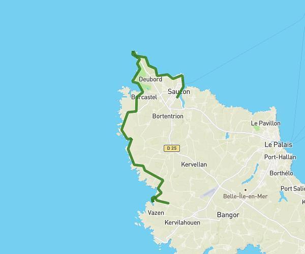
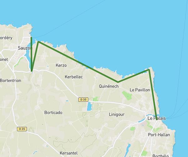
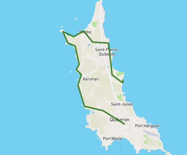
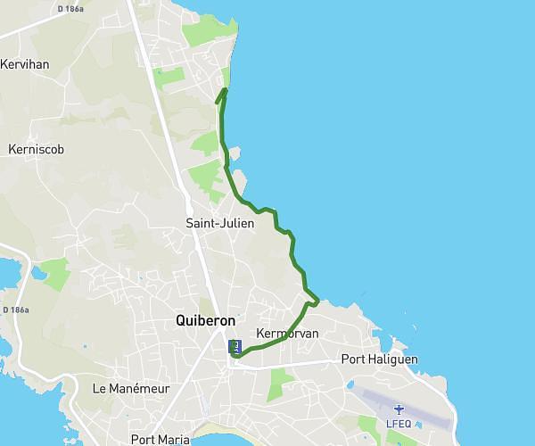
This hiking trail covers 16.853mi starting from Sauzon, Morbihan. The hike does not return to the trailhead and ends near 199 Impasse Des Bruyères, 56360 Bangor, France. This hike is rated as strenuous, plan for about 5h57m to complete it. The route has an elevation gain of 2182ft and an elevation loss of 2034ft.
Jour 2
Route details
2.83mph
Speed
2601 kcal
Calories burned
4.7%
Avg grade
Point to point
Route type
7ft
Min altitude
174ft
Max altitude
Route profile
2182ft
Elevation gain
2034ft
Elevation loss
7ft
Min altitude
174ft
Max altitude
How to get there
Trailhead: 36 Chemin Du Cardinal, Sauzon, France
GPS coordinates of the trailhead: 47.374869, -3.21788 / 47°22'29'' N, 3°13'4'' W