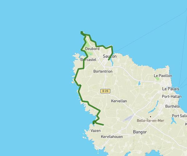
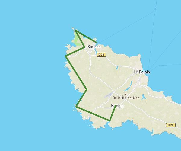
This hiking trail covers 9.059mi starting from Saint-Pierre-Quiberon, Morbihan. The hike does not return to the trailhead and ends near 8 Place De La Gare, 56170 Quiberon, France. This hike is rated as moderate, plan for about 3h5m to complete it. The route has an elevation gain of 787ft and an elevation loss of 761ft.
jour 2
Route details
2.93mph
Speed
1334 kcal
Calories burned
3.2%
Avg grade
Point to point
Route type
0ft
Min altitude
85ft
Max altitude
Route profile
787ft
Elevation gain
761ft
Elevation loss
0ft
Min altitude
85ft
Max altitude
How to get there
Trailhead: 3 Impasse Des Courlis, 56510 Saint-Pierre-Quiberon, France
GPS coordinates of the trailhead: 47.506337, -3.119221 / 47°30'22'' N, 3°7'9'' W