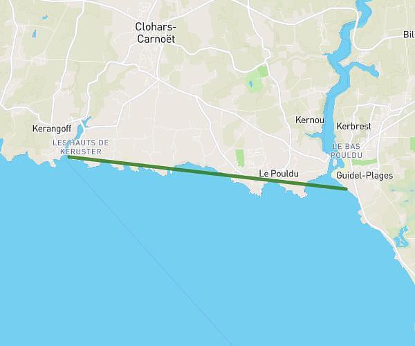
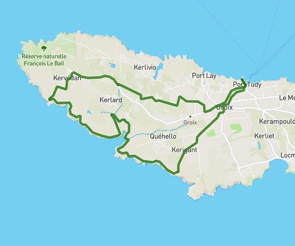
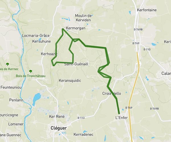
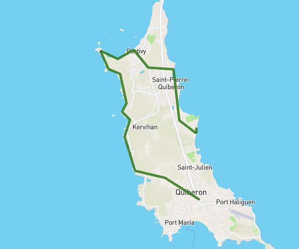
This hiking trail covers 22.008mi starting from Erdeven, Morbihan. The hike does not return to the trailhead and ends near 12 Rue De Vannes, 56400 Sainte-Anne-d'Auray, France. This hike is rated as strenuous, plan for about 7h36m to complete it. The route has an elevation gain of 1319ft and an elevation loss of 1201ft.
BDC
Route details
2.9mph
Speed
3252 kcal
Calories burned
2.2%
Avg grade
Point to point
Route type
0ft
Min altitude
203ft
Max altitude
Route profile
1319ft
Elevation gain
1201ft
Elevation loss
0ft
Min altitude
203ft
Max altitude
How to get there
Trailhead: 2 Kerdavid, 56410 Erdeven, France
GPS coordinates of the trailhead: 47.644827, -3.178049 / 47°38'41'' N, 3°10'40'' W