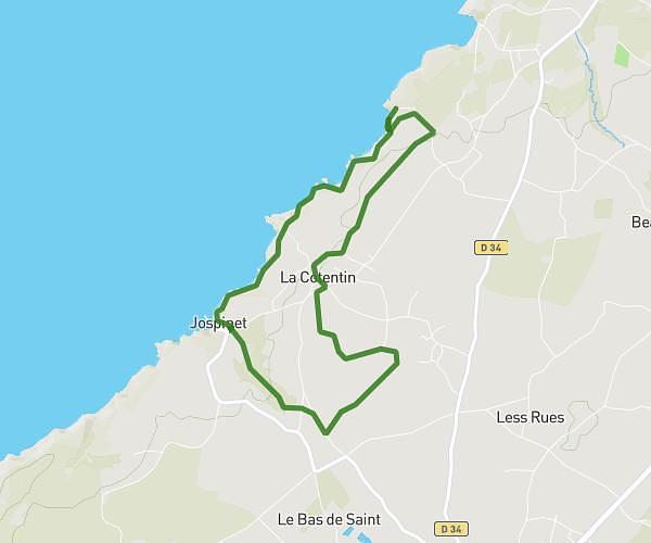
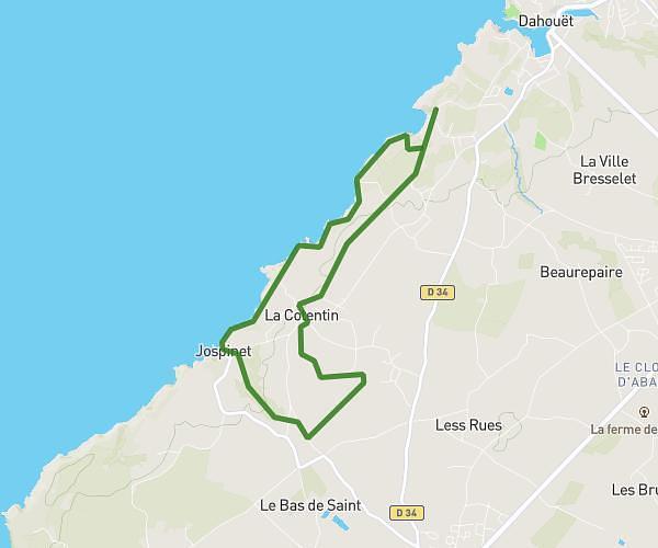
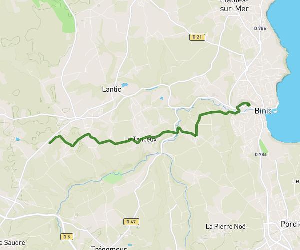
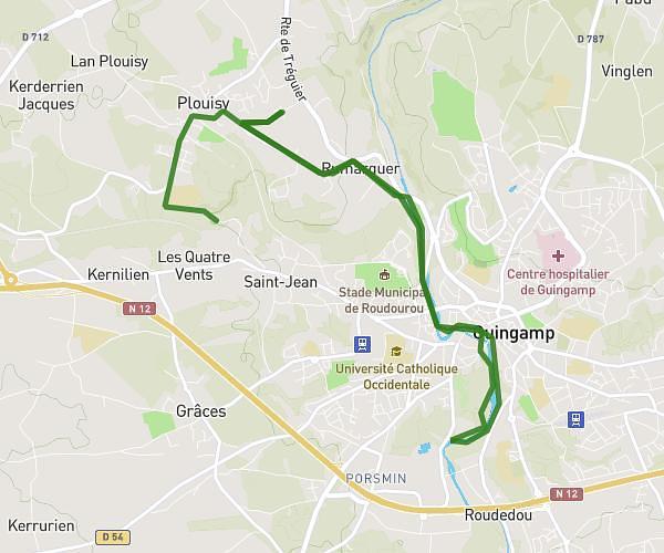
This running route covers 16.66mi starting from Plouha, Côtes-d'Armor. The run does not return to the trailhead and ends near Quai Neuf, 22500 Paimpol. This run is rated as strenuous, expect about 1h54m to complete it. The route has an elevation gain of 23ft and an elevation loss of 322ft.
Moby'dick J1 plouha Paimpol
Route details
8.7mph
Speed
1314 kcal
Calories burned
Point to point
Route type
-10ft
Min altitude
289ft
Max altitude
Route profile
23ft
Elevation gain
322ft
Elevation loss
-10ft
Min altitude
289ft
Max altitude
How to get there
Trailhead: Rue Du Général De Gaulle, 22580 Plouha
GPS coordinates of the trailhead: 48.67941, -2.92958 / 48°40'45'' N, 2°55'46'' W