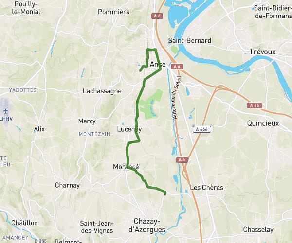
This running route covers 14.902mi starting from Lyon, Rhône. The run does not return to the trailhead and ends near 182 Avenue Jean Jaurès, 69007 Lyon, France. This run is rated as strenuous, expect about 3h to complete it. The route has an elevation gain of 151ft and an elevation loss of 341ft.
Lyon 001
Route details
4.96mph
Speed
2058 kcal
Calories burned
Point to point
Route type
486ft
Min altitude
764ft
Max altitude
Route profile
151ft
Elevation gain
341ft
Elevation loss
486ft
Min altitude
764ft
Max altitude
How to get there
Trailhead: 12 Place Bellecour, 69002 Lyon, France
GPS coordinates of the trailhead: 45.75776, 4.83353 / 45°45'27'' N, 4°50'0'' E