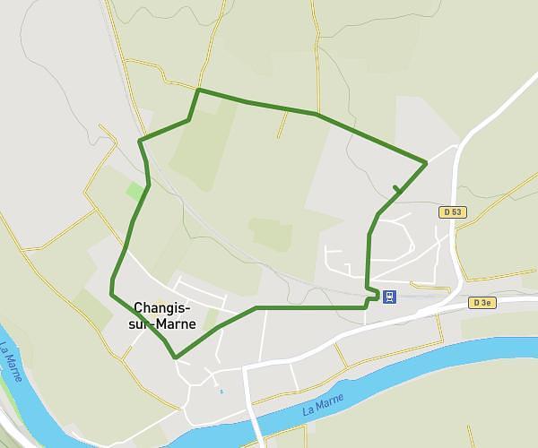
This walking route covers 7.466mi starting from Lagny-sur-Marne, Seine-et-Marne. The walk is a loop trail and returns to the trailhead. This walk is rated as strenuous, plan for about 2h40m to complete it. The route has an elevation gain of 463ft and an elevation loss of 466ft.
Balade dans les rues de Lagny sur Marne
Route details
21:25/mi
Pace
653 kcal
Calories burned
Loop trail
Route type
135ft
Min altitude
354ft
Max altitude
Route profile
463ft
Elevation gain
466ft
Elevation loss
135ft
Min altitude
354ft
Max altitude
How to get there
Trailhead: 6 Avenue Albert Camus, 77400 Lagny-sur-Marne, France
GPS coordinates of the trailhead: 48.86626, 2.70706 / 48°51'58'' N, 2°42'25'' E