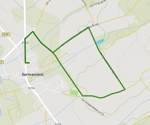
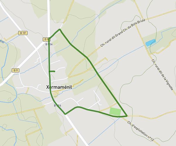
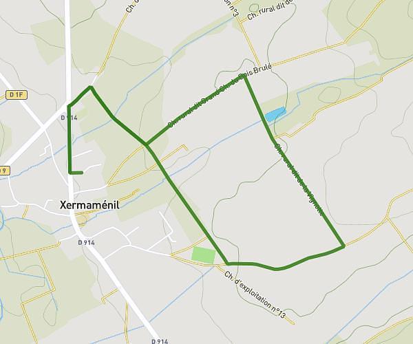
This running route covers 8.583mi starting from Lunéville, Meurthe-et-Moselle. The run is a loop trail and returns to the trailhead. This run is rated as hard, expect about 1h32m to complete it. The route has an elevation gain of 49ft and an elevation loss of 13ft.
Bosquet
Route details
5.6mph
Speed
1052 kcal
Calories burned
Loop trail
Route type
728ft
Min altitude
778ft
Max altitude
Route profile
49ft
Elevation gain
13ft
Elevation loss
728ft
Min altitude
778ft
Max altitude
How to get there
Trailhead: 2 Avenue De Lattre De Tassigny, 54300 Lunéville, France
GPS coordinates of the trailhead: 48.59692, 6.50316 / 48°35'48'' N, 6°30'11'' E