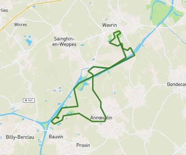
This running route covers 17.436mi starting from Wannehain, Nord. The run is a loop trail and returns to the trailhead. This run is rated as strenuous, expect about 1h31m to complete it. The route has an elevation gain of 108ft and an elevation loss of 108ft.
14kil
Route details
11.5mph
Speed
1040 kcal
Calories burned
Loop trail
Route type
141ft
Min altitude
236ft
Max altitude
Route profile
108ft
Elevation gain
108ft
Elevation loss
141ft
Min altitude
236ft
Max altitude
How to get there
Trailhead: Rue De Bachy, 59830 Wannehain
GPS coordinates of the trailhead: 50.56746, 3.26752 / 50°34'2'' N, 3°16'3'' E