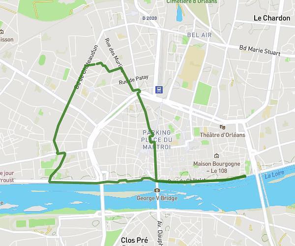
This running route covers 4.655mi starting from Saint-Jean-de-Braye, Loiret. The run is a loop trail and returns to the trailhead. This run is rated as easy, expect about 50m to complete it. The route has an elevation gain of 292ft and an elevation loss of 285ft.
Charbonnière
Route details
5.59mph
Speed
572 kcal
Calories burned
Loop trail
Route type
371ft
Min altitude
436ft
Max altitude
Route profile
292ft
Elevation gain
285ft
Elevation loss
371ft
Min altitude
436ft
Max altitude
How to get there
Trailhead: 64 Rue De La Borde, 45800 Saint-Jean-de-Braye, France
GPS coordinates of the trailhead: 47.932904, 1.990896 / 47°55'58'' N, 1°59'27'' E