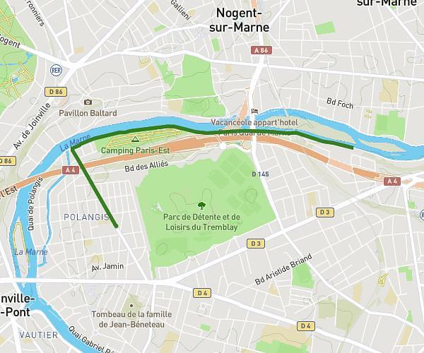
This running route covers 3.183mi starting from Asnières-sur-Seine, Hauts-de-Seine. The run is a loop trail and returns to the trailhead. This run is rated as easy, expect about 30m to complete it. The route has an elevation gain of 23ft and an elevation loss of 20ft.
Boucle 5km Asnières Bois Co
Route details
6.37mph
Speed
343 kcal
Calories burned
Loop trail
Route type
89ft
Min altitude
112ft
Max altitude
Route profile
23ft
Elevation gain
20ft
Elevation loss
89ft
Min altitude
112ft
Max altitude
How to get there
Trailhead: 205 Rue Du Ménil, 92600 Asnières-sur-Seine, France
GPS coordinates of the trailhead: 48.92467, 2.27749 / 48°55'28'' N, 2°16'38'' E