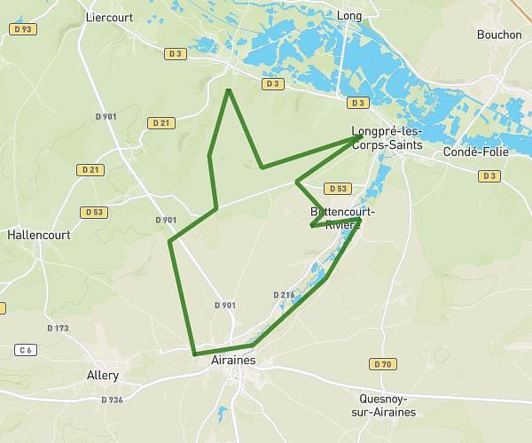
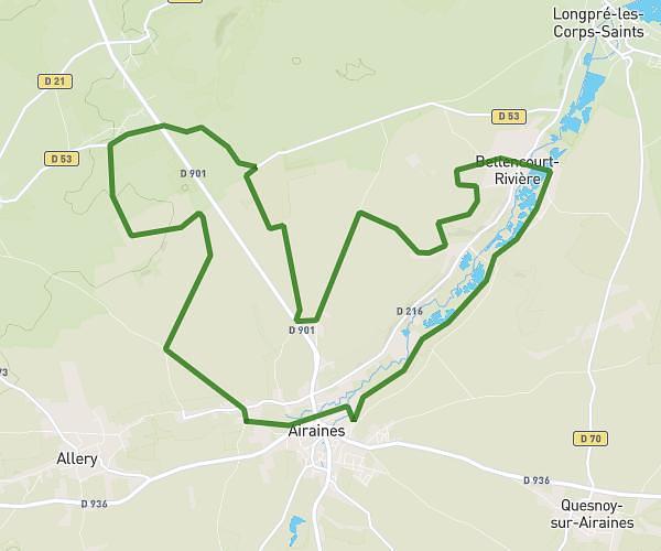
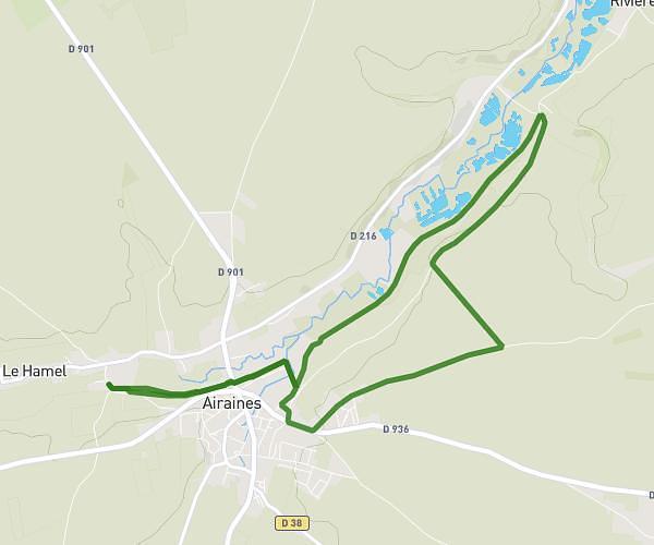
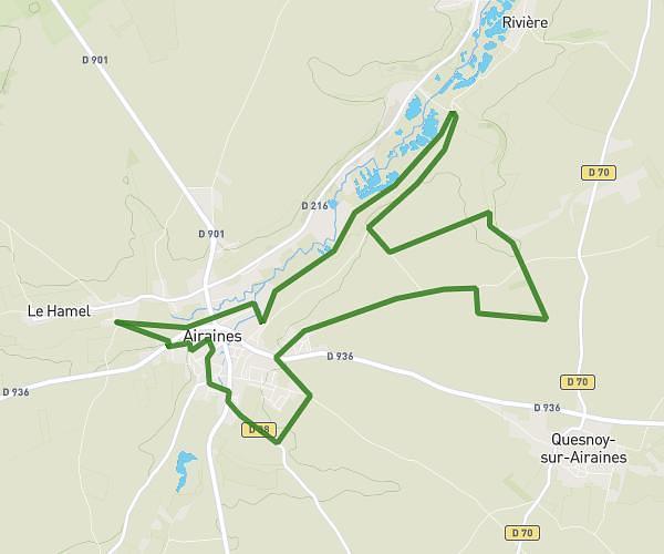
This running route covers 13.851mi starting from Hodeng-au-Bosc, Seine-Maritime. The run is a loop trail and returns to the trailhead. This run is rated as strenuous, expect about 2h14m to complete it. The route has an elevation gain of 774ft and an elevation loss of 774ft.
Tour 22 Hodeng
Route details
6.2mph
Speed
1532 kcal
Calories burned
Loop trail
Route type
220ft
Min altitude
433ft
Max altitude
Route profile
774ft
Elevation gain
774ft
Elevation loss
220ft
Min altitude
433ft
Max altitude
How to get there
Trailhead: 38 Rue De L'église, 76340 Hodeng-au-Bosc, France
GPS coordinates of the trailhead: 49.86268, 1.70228 / 49°51'45'' N, 1°42'8'' E