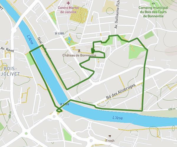
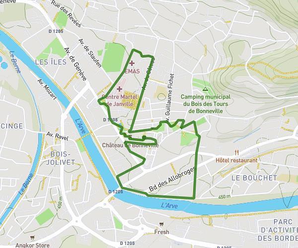
This running route covers 8.255mi starting from Cuvat, Haute-Savoie. The run is a loop trail and returns to the trailhead. This run is rated as hard, expect about 1h29m to complete it. The route has an elevation gain of 1752ft and an elevation loss of 1749ft.
GROS MOLLET
Route details
5.57mph
Speed
1018 kcal
Calories burned
Loop trail
Route type
2096ft
Min altitude
2887ft
Max altitude
Route profile
1752ft
Elevation gain
1749ft
Elevation loss
2096ft
Min altitude
2887ft
Max altitude
How to get there
Trailhead: 265 Chemin Des Crêts, 74350 Cuvat, France
GPS coordinates of the trailhead: 45.977019, 6.105154 / 45°58'37'' N, 6°6'18'' E