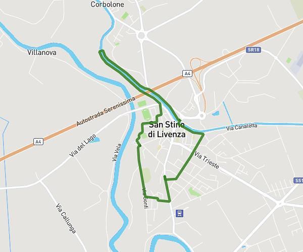
This running route covers 3.923mi starting from San Stino di Livenza, Venice. The run is a loop trail and returns to the trailhead. This run is rated as easy, expect about 37m53s to complete it. The route has an elevation gain of 16ft and an elevation loss of 10ft.
jog
Route details
6.21mph
Speed
433 kcal
Calories burned
Loop trail
Route type
3ft
Min altitude
13ft
Max altitude
Route profile
16ft
Elevation gain
10ft
Elevation loss
3ft
Min altitude
13ft
Max altitude
How to get there
Trailhead: Via Stazione 73, 30029 San Stino di Livenza Venice, Italy
GPS coordinates of the trailhead: 45.72564, 12.6802 / 45°43'32'' N, 12°40'48'' E