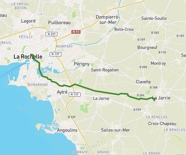
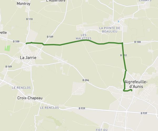
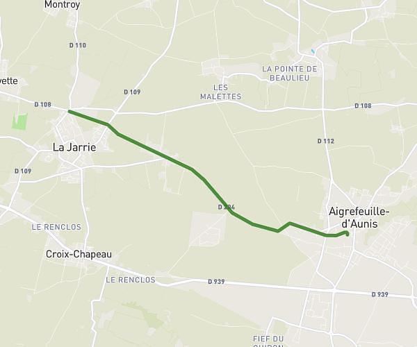
This cycling route covers 1.678mi starting from Aigrefeuille-d'Aunis, Charente-Maritime. The ride does not return to the trailhead and ends near 11 Route Aux Moines, 17290 Aigrefeuille-d'Aunis, France. This route is rated as easy, plan for about 4m8s to complete it. The route has an elevation gain of 43ft and an elevation loss of 52ft.
LAC DE FRACE
Route details
36 kcal
Calories burned
1.1%
Avg grade
Point to point
Route type
46ft
Min altitude
75ft
Max altitude
Route profile
43ft
Elevation gain
52ft
Elevation loss
46ft
Min altitude
75ft
Max altitude
How to get there
Trailhead: 3 Impasse Des Sansonnettes, 17290 Aigrefeuille-d'Aunis, France
GPS coordinates of the trailhead: 46.113253, -0.937349 / 46°6'47'' N, 0°56'14'' W