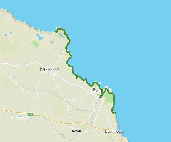
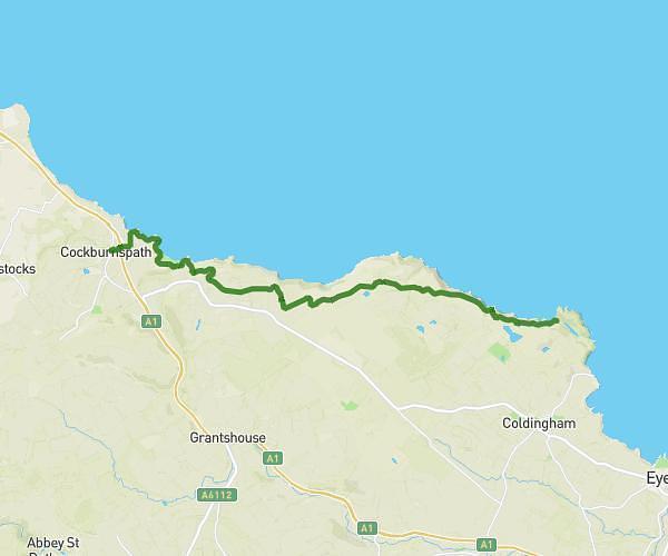
This running route covers 9.055mi starting from Eyemouth, Scotland. The run does not return to the trailhead and ends near Sandgate, TD15 1ER Berwick-Upon-Tweed. This run is rated as hard, expect about 4h38m to complete it. The route has an elevation gain of 16ft and an elevation loss of 223ft.
Berwickshire Coastal path day 3
Route details
1.96mph
Speed
3178 kcal
Calories burned
Point to point
Route type
20ft
Min altitude
223ft
Max altitude
Route profile
16ft
Elevation gain
223ft
Elevation loss
20ft
Min altitude
223ft
Max altitude
How to get there
Trailhead: C122, TD14 5LZ Eyemouth
GPS coordinates of the trailhead: 55.85553, -2.07268 / 55°51'19'' N, 2°4'21'' W