MapPlanner
14.931mi
Distance
4h53m
Duration
+243ft
Elevation gain
-243ft
Elevation loss
Moderate
Level

Aldermaston Wharf

Route details

3.06mph
Speed
2062 kcal
Calories burned
0.6%
Avg grade
Loop trail
Route type
177ft
Min altitude
246ft
Max altitude

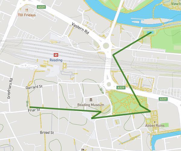
This hiking trail covers 14.931mi starting from Thatcham, England. The hike is a loop trail and returns to the trailhead. This hike is rated as moderate, plan for about 4h53m to complete it. The route has an elevation gain of 243ft and an elevation loss of 243ft.

Route profile

243ft
Elevation gain
243ft
Elevation loss
177ft
Min altitude
246ft
Max altitude

How to get there

Trailhead: Clerewater Place, RG19 3RA Thatcham

GPS coordinates of the trailhead: 51.40247, -1.28301 / 51°24'8'' N, 1°16'58'' W

Caution: May Cross Private Property

This route may pass through or near private property. Always respect posted signs, obtain permission where required, and follow local trespassing laws. MapPlanner does not guarantee public access along any route.

Safety Notice

Trail and road conditions may change without notice due to weather, construction, or other factors. Always verify current conditions before heading out. You are responsible for your own safety — follow local signage, obey traffic laws, and use your best judgment on the trail.