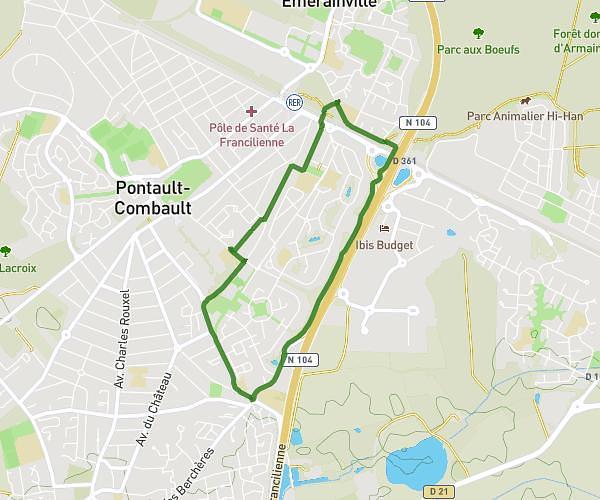
This running route covers 3.178mi starting from Guignes, Seine-et-Marne. The run is a loop trail and returns to the trailhead. This run is rated as easy, expect about 31m to complete it. The route has an elevation gain of 82ft and an elevation loss of 82ft.
GUIGNES OCTOBRE ROSE 2024
Route details
6.15mph
Speed
354 kcal
Calories burned
Loop trail
Route type
289ft
Min altitude
315ft
Max altitude
Route profile
82ft
Elevation gain
82ft
Elevation loss
289ft
Min altitude
315ft
Max altitude
How to get there
Trailhead: 49 Rue Du Bois Boulay, 77390 Guignes, France
GPS coordinates of the trailhead: 48.62837, 2.80143 / 48°37'42'' N, 2°48'5'' E