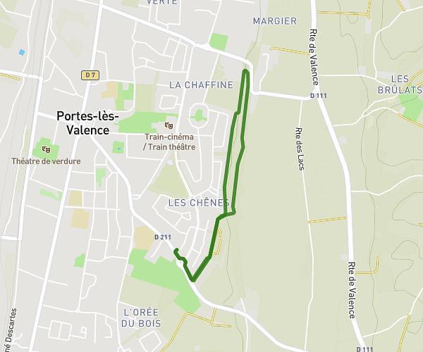
This walking route covers 1.807mi starting from Valence, Drôme. The walk is a loop trail and returns to the trailhead. This walk is rated as easy, plan for about 39m to complete it. The route has an elevation gain of 92ft and an elevation loss of 92ft.
Epervière plat
Route details
21:36/mi
Pace
159 kcal
Calories burned
Loop trail
Route type
341ft
Min altitude
364ft
Max altitude
Route profile
92ft
Elevation gain
92ft
Elevation loss
341ft
Min altitude
364ft
Max altitude
How to get there
Trailhead: 33 Boulevard De Crussol, 26000 Valence, France
GPS coordinates of the trailhead: 44.91626, 4.875248 / 44°54'58'' N, 4°52'30'' E