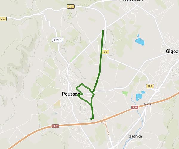
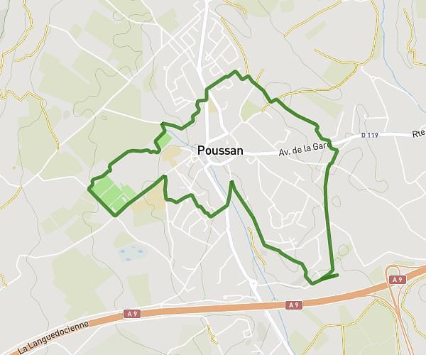
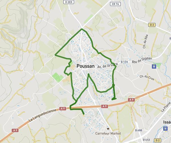
This running route covers 9.831mi starting from Saint-Jean-de-Védas, Hérault. The run is a loop trail and returns to the trailhead. This run is rated as hard, expect about 3h to complete it. The route has an elevation gain of 79ft and an elevation loss of 56ft.
trail st jean 16km
Route details
3.27mph
Speed
2058 kcal
Calories burned
Loop trail
Route type
75ft
Min altitude
138ft
Max altitude
Route profile
79ft
Elevation gain
56ft
Elevation loss
75ft
Min altitude
138ft
Max altitude
How to get there
Trailhead: 7 Rue Des Écureuils, 34430 Saint-Jean-de-Védas, France
GPS coordinates of the trailhead: 43.56741, 3.8272 / 43°34'2'' N, 3°49'37'' E