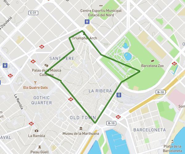
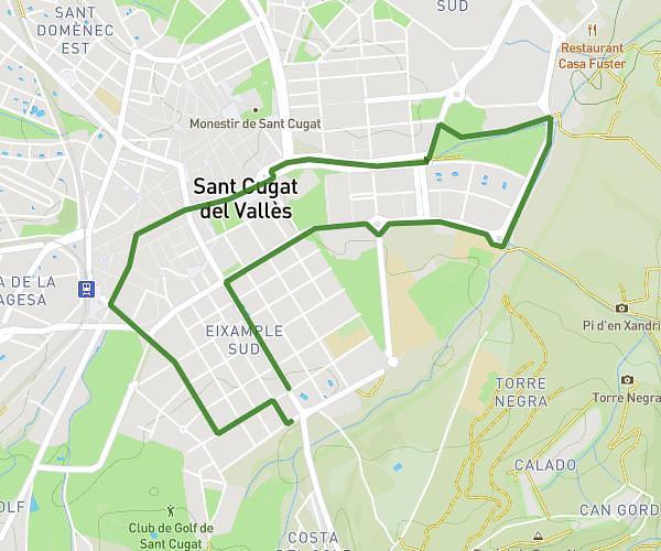
This running route covers 4.295mi starting from Terrassa, Barcelona. The run is a loop trail and returns to the trailhead. This run is rated as easy, expect about 45m to complete it. The route has an elevation gain of 226ft and an elevation loss of 253ft.
Golf
Route details
5.73mph
Speed
515 kcal
Calories burned
Loop trail
Route type
892ft
Min altitude
1145ft
Max altitude
Route profile
226ft
Elevation gain
253ft
Elevation loss
892ft
Min altitude
1145ft
Max altitude
How to get there
Trailhead: Camí Dels Plans De Can Bonvilar 40, 08227 Terrassa, Barcelona, Spain
GPS coordinates of the trailhead: 41.581254, 2.045876 / 41°34'52'' N, 2°2'45'' E