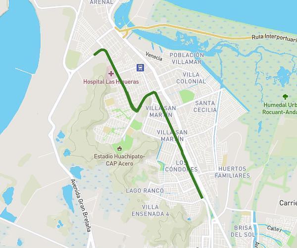
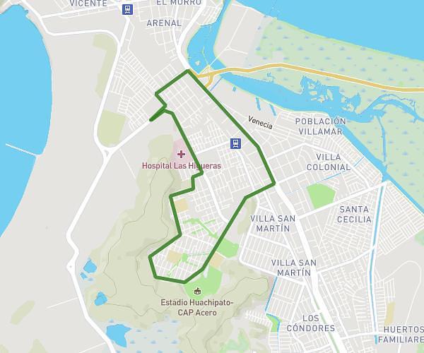
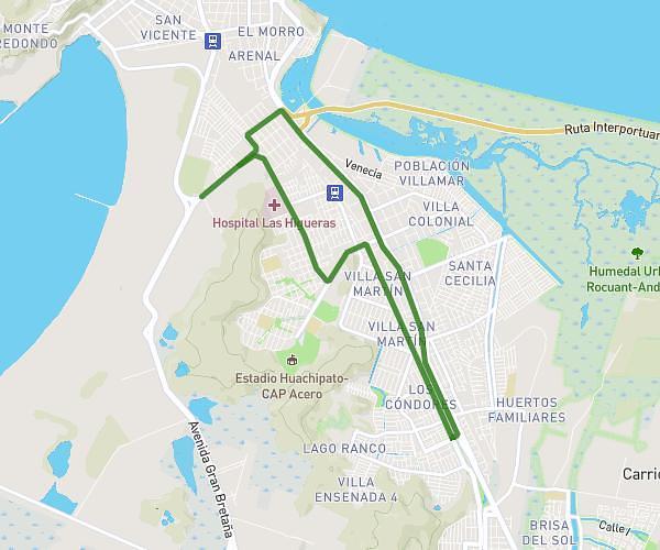
This running route covers 8.972mi starting from Talcahuano, Biobío. The run is a loop trail and returns to the trailhead. This run is rated as hard, expect about 1h37m to complete it. The route has an elevation gain of 387ft and an elevation loss of 387ft.
14k Sag. Cor
Route details
5.55mph
Speed
1109 kcal
Calories burned
Loop trail
Route type
33ft
Min altitude
69ft
Max altitude
Route profile
387ft
Elevation gain
387ft
Elevation loss
33ft
Min altitude
69ft
Max altitude
How to get there
Trailhead: Gomez Carreno 3199, Talcahuano, Biobío 4260000, Chile
GPS coordinates of the trailhead: -36.741315, -73.098435 / 36°44'28'' S, 73°5'54'' W