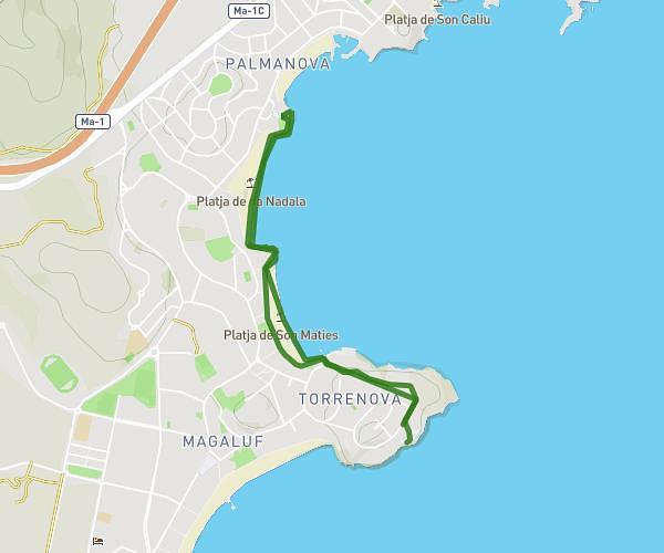
This running route covers 3.72mi starting from Marratxí, Balearic Islands. The run does not return to the trailhead and ends near Carrer De Juli Ramis 17, 07141 Marratxí, Balearic Islands, Spain. This run is rated as easy, expect about 35m to complete it. The route has an elevation gain of 171ft and an elevation loss of 174ft.
Casa
Route details
6.38mph
Speed
400 kcal
Calories burned
Point to point
Route type
115ft
Min altitude
174ft
Max altitude
Route profile
171ft
Elevation gain
174ft
Elevation loss
115ft
Min altitude
174ft
Max altitude
How to get there
Trailhead: Carrer Del Mossèn Rafael Juan 1, 07141 Marratxí, Balearic Islands, Spain
GPS coordinates of the trailhead: 39.601618, 2.692417 / 39°36'5'' N, 2°41'32'' E