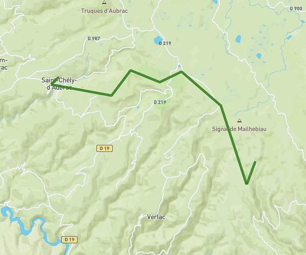
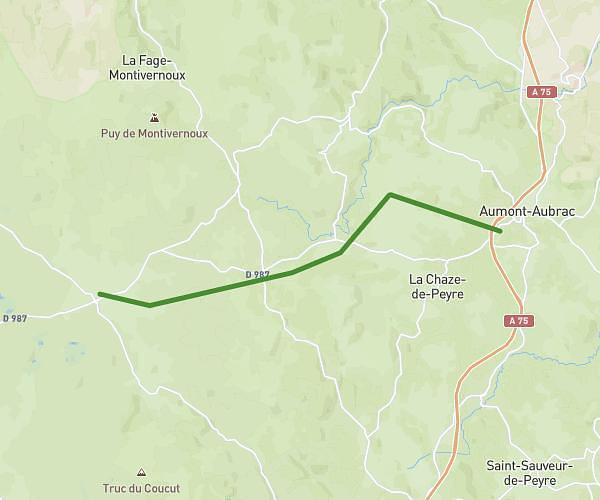
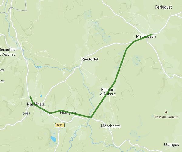
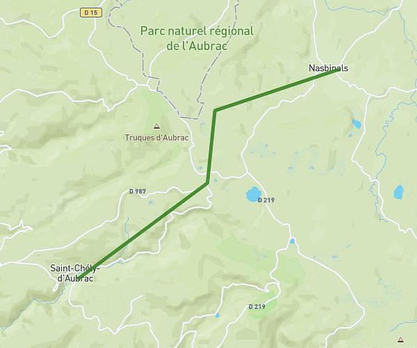
This walking route covers 7.12mi starting from Prinsuéjols-Malbouzon, Lozère. The walk does not return to the trailhead and ends near D 900, 48100 Saint-Laurent-de-Muret, France. This walk is rated as hard, plan for about 2h33m to complete it. The route has an elevation gain of 830ft and an elevation loss of 1184ft.
Aubrac 2
Route details
21:30/mi
Pace
625 kcal
Calories burned
Point to point
Route type
3652ft
Min altitude
4091ft
Max altitude
Route profile
830ft
Elevation gain
1184ft
Elevation loss
3652ft
Min altitude
4091ft
Max altitude
How to get there
Trailhead: D 73, 48100 Prinsuéjols-Malbouzon, France
GPS coordinates of the trailhead: 44.671587, 3.171407 / 44°40'17'' N, 3°10'17'' E