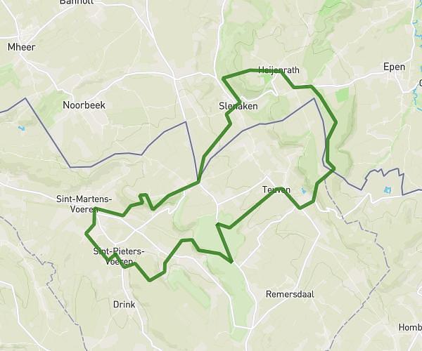
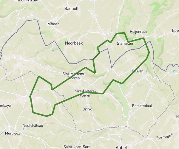
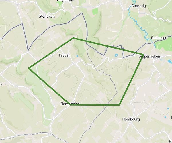
This running route covers 17.659mi starting from Valkenburg, Limburg. The run is a loop trail and returns to the trailhead. This run is rated as strenuous, expect about 4h10m to complete it. The route has an elevation gain of 1079ft and an elevation loss of 1079ft.
Long run
Route details
4.24mph
Speed
2858 kcal
Calories burned
Loop trail
Route type
240ft
Min altitude
574ft
Max altitude
Route profile
1079ft
Elevation gain
1079ft
Elevation loss
240ft
Min altitude
574ft
Max altitude
How to get there
Trailhead: Neerhem 10, 6301 CH Valkenburg, Netherlands
GPS coordinates of the trailhead: 50.861301, 5.832765 / 50°51'40'' N, 5°49'57'' E