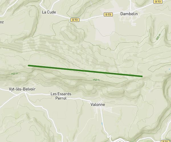
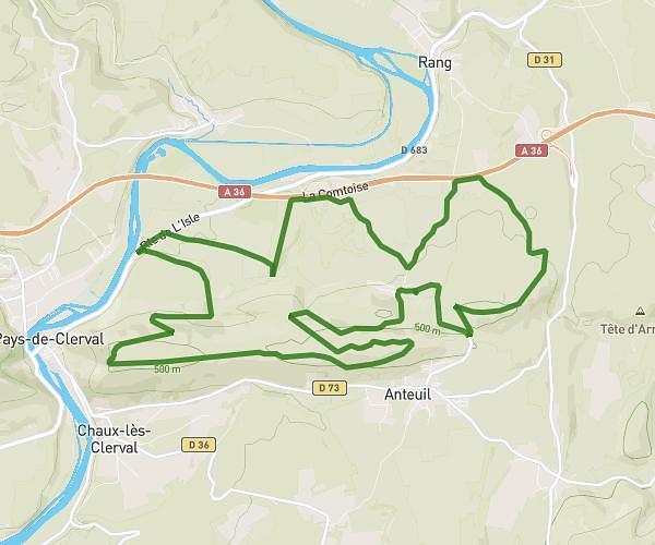
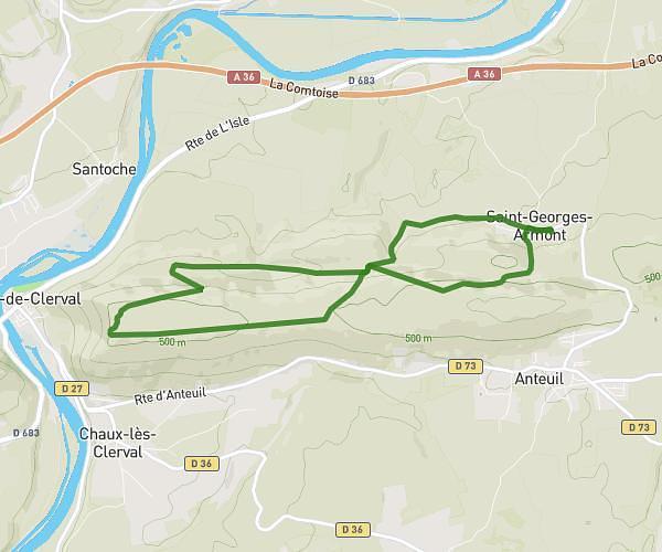
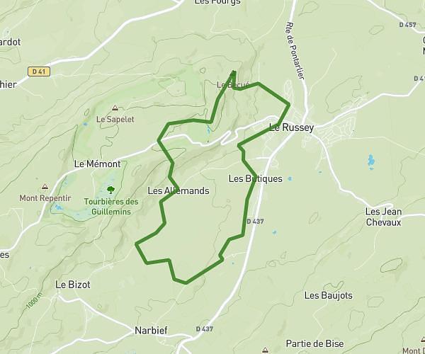
This hiking trail covers 7.445mi starting from Le Russey, Doubs. The hike is a loop trail and returns to the trailhead. This hike is rated as moderate, plan for about 2h51m to complete it. The route has an elevation gain of 942ft and an elevation loss of 942ft.
Marche gourmande 2026
Route details
2.61mph
Speed
1245 kcal
Calories burned
4.8%
Avg grade
Loop trail
Route type
2848ft
Min altitude
3353ft
Max altitude
Route profile
942ft
Elevation gain
942ft
Elevation loss
2848ft
Min altitude
3353ft
Max altitude
How to get there
Trailhead: 151 Clos Des Logeottes, 25210 Le Russey, France
GPS coordinates of the trailhead: 47.162508, 6.723027 / 47°9'45'' N, 6°43'22'' E